عضویت
عضویت  ورود اعضا
 راهنمای خرید

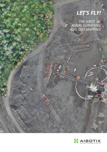
Let's fly! The Aibot X6: Aerial Surveying and Geo-Mapping0 pages
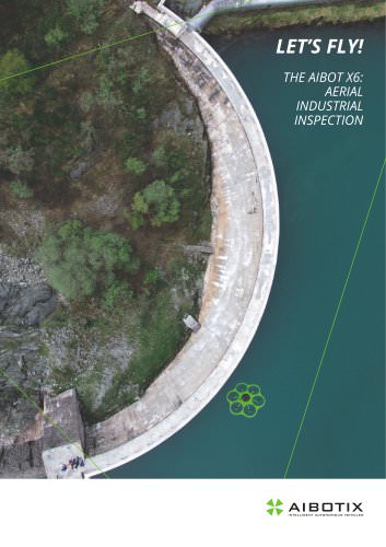
LET’S FLY!
DER AIBOT X6:
THE
VERMESSUNG UND
AERIAL SURVEYING
GEO-MAPPING IM FLUG
AND GEO-MAPPING
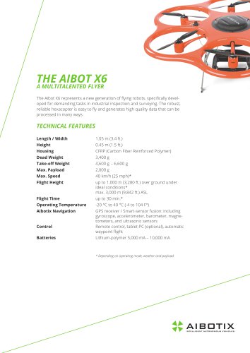
THE AIBOT X6
AT A GLANCE
THE AIBOT X6
INSPIRES
• Robust, ultra-lightweight carbon housing with pro-tt
t peller and collision protection
• High flight stability and stable GPS-positioning for
t photo and video shots
• Manual, semi-autonomous (flight assistant), and fully
t automatic flight modes, including auto-start and
t landing
• Low crash risk, even if one motor fails
• No runway needed
• Easy to operate
• Horizontal and vertical movements
• Flexible adaptation of the camera during the flight
• Plug-and-play system for many different sensors
• Vertical (nadir) and horizontal (oblique) photography
• Intuitive camera mount with automatic pitch and roll
t compensation provides steady and blur-free pictures
t and videos
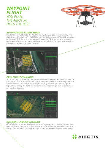
• Intuitive, proprietary software for programming flight
t paths (AiProFlight by Aibotix)
• Specially developed tool to geo-reference the images
“It’s crazy how much time we save by using the multicopter. We can control the Aibot from a central location,
which saves us the laborious task of having to walk
through the pit.” Magnus Myhre, Asker Oppmaling AS,
Norway
“Our company has always adopted new technologies at
a very early stage. This allows us to continually offer our
customers added value and expand our position in the
market.” Ekkehard Jungemann, Spitthöver & Jungemann Surveyors, Germany
“With the Aibot X6 we can generate highly accurate data
and produce multiple analyses with little time and expense.” Markus Prechtl, ing Traunreut GmbH, Germany
Get more information on
www.aibotix.com
or contact us directly at:
Phone: +49 (0) 561 473 949-0
E-Mail: info@aibotix.com